
08 Aug 2026
Ha Giang Loop Map: Route, Key Stops and Safety Guide for 2, 3 and 4 Days
Ha Giang LoopMapRouteItinerarySafety
Open a Ha Giang Loop map on your phone and it looks harmless: a rough circle of road north of Ha Giang city, a few town names, a border. What the map cannot show is that the circle is made of mountain passes, that fog can close a viewpoint in minutes, and that the town you planned to reach by dark is two hours further than the kilometres suggest. We ride this route every week, so here is how we read the map, which stops we mark, and how we split it into two, three or four days.
What a Ha Giang Loop Map Actually Shows
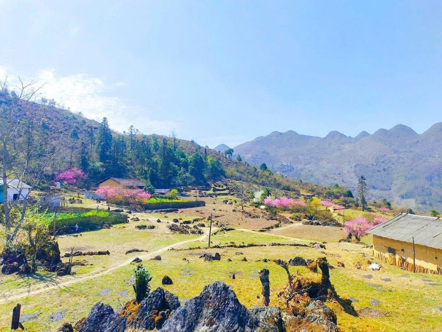
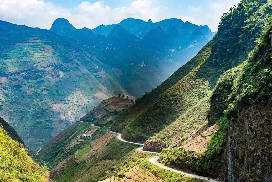
The Loop runs from Ha Giang city up through Quan Ba and Yen Minh onto the Dong Van Karst Plateau, a UNESCO Global Geopark, then along Ma Pi Leng Pass to Meo Vac and back south through Mau Due and Du Gia. Almost all of it sits above the valleys where most of Vietnam lives, and the last stretch before the border is home to H'mong, Tay, Dao, Lo Lo and Nung villages.
A useful map answers real questions. Where do I sleep tonight? Which pass comes before lunch? Where is the next petrol pump, and is there phone signal in between? A map should set the pace, not push it. On this road the quickest plan is rarely the best one.
Why the Map Matters Before You Start
Three mistakes come from underestimating the circle. The first is planning too many kilometres in one day; mountain kilometres take twice as long as flat ones and tired riders make errors on the descents. The second is misjudging the terrain, which changes from river valley to pine forest to grey karst within a single morning. The third is ignoring the weather: summer brings monsoon rain and landslides, while December and January bring cold fog on the plateau.
We treat the route as a living plan. If a pass is fogged in, the group stops for coffee and waits, or takes the lower road. The guide decides, and the map bends.
The Classic Circle
The standard direction leaves Ha Giang city for Quan Ba, continues to Yen Minh and up onto the plateau at Dong Van, crosses Ma Pi Leng into Meo Vac, drops south to Du Gia and closes the circle back in the city. Our three- and four-day Loops ride it the other way around, out through Du Gia first and home over Quan Ba, because the quiet side makes a gentler first day and you meet Ma Pi Leng once you are settled on the bike.
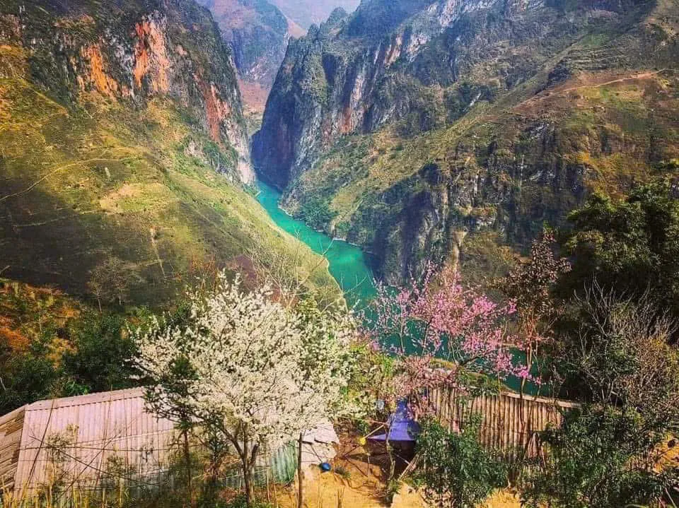

Quan Ba is the first mountain district, with Bac Sum Pass, Heaven Gate and the Twin Fairy Mountains. Yen Minh is a small town under pine hills, useful for lunch or a night. Dong Van is the cultural heart, with its old quarter, the karst plateau and the road to Lung Cu. Ma Pi Leng links Dong Van to Meo Vac along the cliff above the Nho Que River. Du Gia is the green, soft end of the circle, all rivers, rafts and Tay stilt houses.
Key Stops to Mark on Your Map
Bac Sum Pass and Heaven Gate
The first climb out of the city and the first view down over Quan Ba's twin hills. Most people realise here that the photos were not exaggerating.
Lung Tam Hemp Village
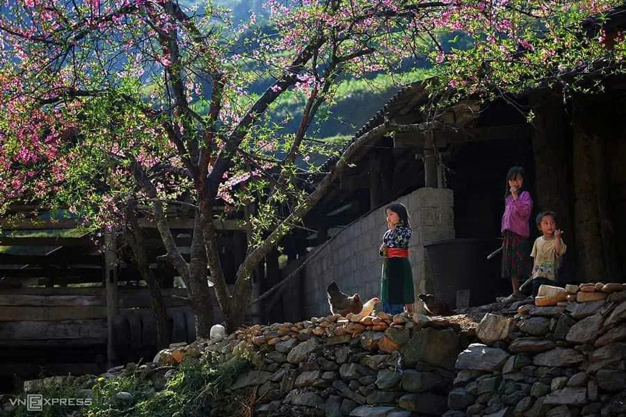
A H'mong weaving village near Quan Ba where cloth is still made from hemp, dyed with indigo and pressed with beeswax.
Tham Ma Pass
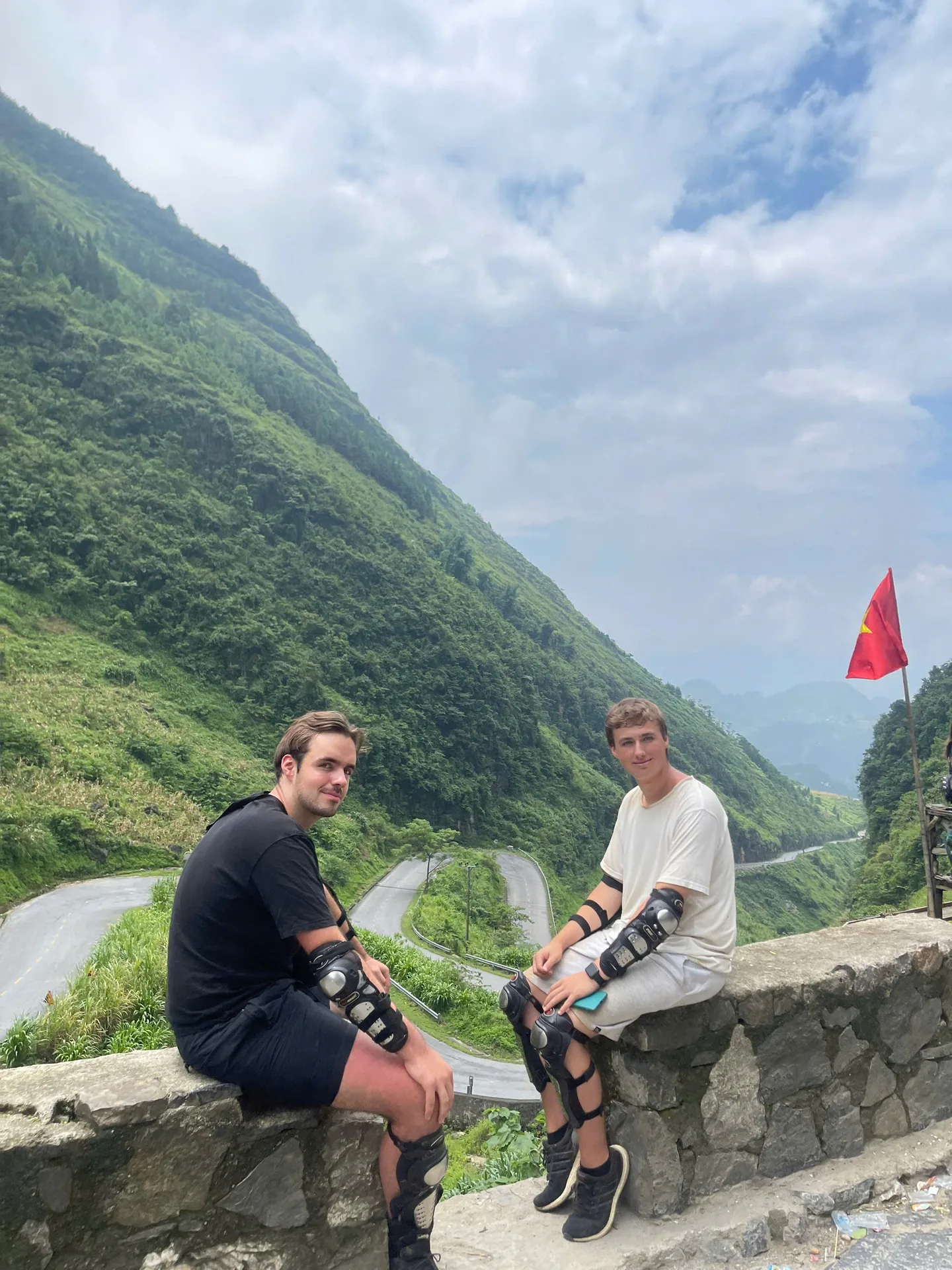
Stacked hairpins between Yen Minh and Dong Van. Beautiful from the top, and a reminder that speed control matters on the way down.
Dong Van Old Quarter
Stone-and-timber houses about a century old. Our groups sleep here with a H'mong family.
Lung Cu Flag Tower
The northernmost point of Vietnam, a side trip north of Dong Van that fits into our four-day Loop, with the Lo Lo Chai village at its foot.
Ma Pi Leng Pass and the Nho Que River
Around twenty kilometres of road built largely by hand in the early 1960s, with the emerald river several hundred metres below. The M-shaped slope near the Meo Vac end is the shot on every postcard.
Du Gia
A Boong waterfall for a swim, the Hangtham Lin River for bamboo rafting, and a Tay homestay for the night.
2-Day Map Plan
Our express Loop covers about 310 km in two long days. Day one goes Ha Giang → Bac Sum → Heaven Gate → Can Ty → Lung Tam → Yen Minh → Tham Ma → Dong Van, roughly 150 km. Day two rides Ma Pi Leng, the M slope and the Nho Que viewpoints, then Meo Vac, Mau Due, Sa Li Pass and the Twin Mountains back to the city, around 160 km. It works if you are short on time and happy with full days; it is Easy Rider only.

3-Day Map Plan
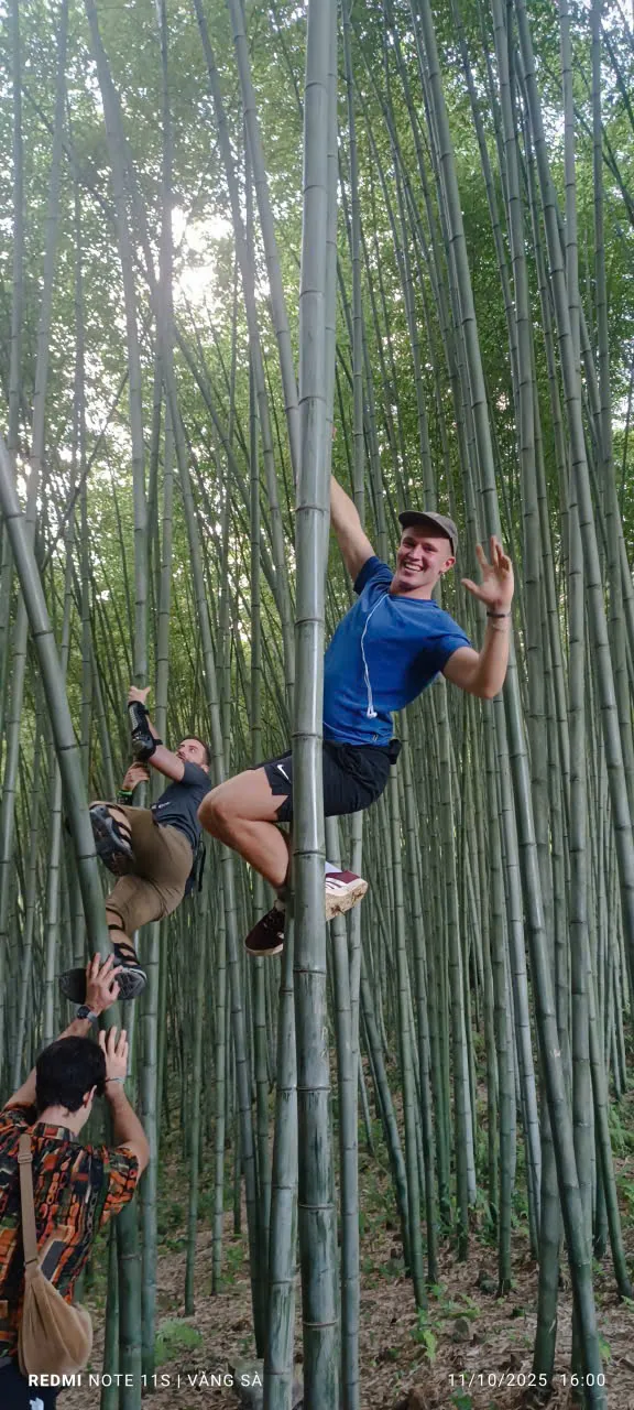
Day one: Ha Giang → Ban Cuong → A Boong waterfall → Thai An → Duong Thuong valley → Du Gia. Day two: Ngoc Long → Hangtham Lin rafting → Sung Trai → Meo Vac viewpoint → bamboo forest → Nho Que → Ma Pi Leng → Dong Van. Day three: China border viewpoint → Thien Huong → Moon Surface → Tham Ma → Yen Minh → Lao Va Chai → Can Ty → Twin Mountains → Heaven Gate → Bac Sum → Ha Giang. This is the balance most guests choose.
4-Day Map Plan
Same first two days, then day three climbs to the Lung Cu flag tower, walks Lo Lo Chai and Thien Huong, visits the Lao Xa ancient house and drops down Tham Ma to sleep in Yen Minh. Day four adds Lao Va Chai viewpoint, Lung Tam, Lung Khuy cave and the Quan Ba viewpoints before the descent home. Four days is the version where nobody feels rushed.
Safety Notes a Map Cannot Show
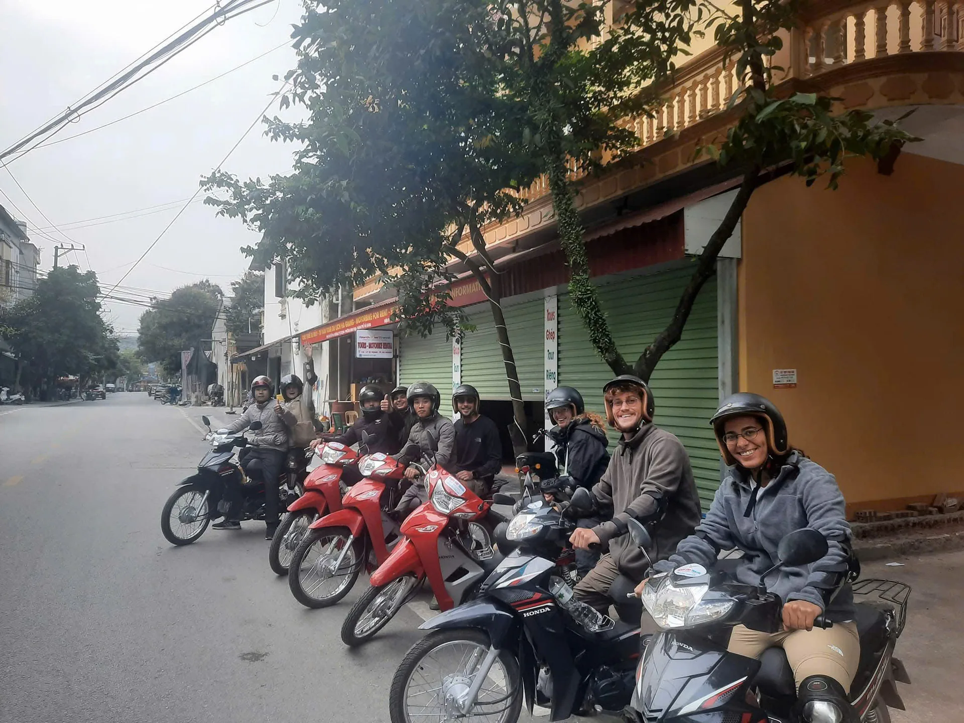
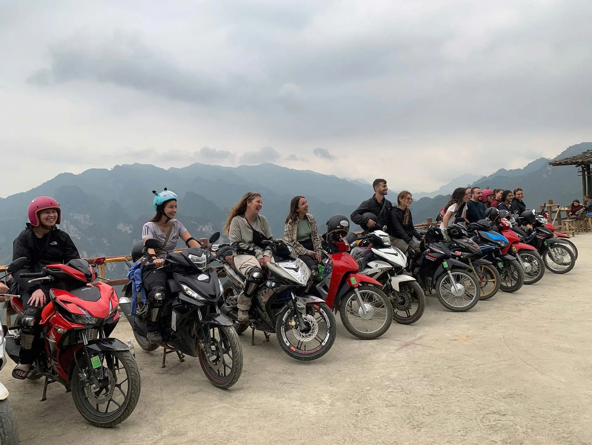
No map marks the fog line on Can Ty, the gravel left by a landslide clearance, the buffalo on a blind corner or how tired you will be at four in the afternoon. So: keep daily distances honest, slow right down before corners you cannot see round, never drink at lunch on a riding day, wear a proper helmet and the gear we provide, check brakes and tyres every morning if you ride yourself, carry water, cash and any medicine, and do not count on mobile signal between towns.
If you want to ride yourself, Vietnam only accepts an International Driving Permit issued under the 1968 convention, carrying category A or A1, together with your national licence. Police on the Loop check both. Without them, Easy Rider is the right answer, not a risk worth taking.
Local Knowledge Beyond the Map
Our drivers grew up on these roads. They know which stretch of Ma Pi Leng gets slick after rain, where a group of six bikes can pull over safely and where it cannot, and which homestay will have dinner ready when the last bike rolls in. That knowledge makes the ride safer, makes the stops more meaningful and stops Ha Giang from becoming a photo background.

Travelling Responsibly
We keep it simple: sleep and eat in family homestays so the money stays local, carry rubbish back to town, buy hemp cloth from the women who weave it, keep groups small, and ask before photographing anyone. A village on the map is someone's home.
Best Time to Ride the Route
March to May is mild, with blossom and fresh rice. June to August is green and dramatic but wet, with landslide risk. September to November is cool and clear, with buckwheat flowers in late autumn. December to February is cold and foggy on the plateau. Check the forecast the night before and ask your guide about current road conditions.
What to Prepare Before You Go
An offline map and a power bank, a rain shell plus something warm, closed shoes, sun cream and sunglasses, any medicine you take, a little cash in small notes, a passport copy and your insurance details. Pack light: we store your big bag for free while you ride.
Final Thoughts
A map gets you around the circle. The road, the weather and the people along it are what you will remember: mist over Quan Ba, the stone lanes of Dong Van, the silence above Ma Pi Leng, and a driver who knows every curve.
Ready to Ride?
The three-day Loop is 4.700.000₫ per person as an Easy Rider, 3.750.000₫ self-riding with a valid IDP, or 3.050.000₫ for a seat behind a friend; two-day and four-day prices are at /#pricing. Send your dates on WhatsApp to +84 973 910 970 and we will tell you honestly which plan fits.
More stories
10 Aug 2026
Freedom Ha Giang Loop: Why Ride Vietnam's Mountain Road With Us
What a Ha Giang Loop with Freedom actually looks like: three ways to ride, small groups with their own guide, family homestays, proper gear, pick-up from Hanoi and a safety-first pace.
Read more →10 Aug 2026
Ha Giang Loop Adventures: A Complete Guide to Riding Northern Vietnam
Everything we tell our own guests before they ride the Ha Giang Loop: the route through the Dong Van Geopark, Ma Pi Leng and the Nho Que River, the people along the road, how many days to take, and whether to ride yourself or sit behind a local Easy Rider.
Read more →
10 Aug 2026
Ha Giang Loop Deaths: The Safety Facts to Know Before You Ride
People do die on the Ha Giang Loop, and pretending otherwise helps nobody. Here is what actually goes wrong on these mountain roads, what the licence law says, and how to pick a way of riding that brings you home.
Read more →